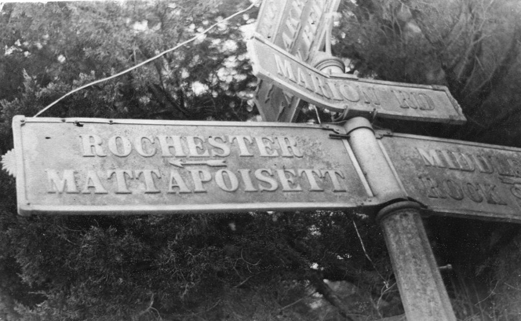
Looking at the postcard pictured here with all the signs pointing to different towns, it makes you realize how large Rochester was for its first 240-odd years. When the Proprietors signed on the dotted line in 1679, they became joint owners of a territory of 70-square miles with some additional acreage added on later. This additional land was the “plantation of Agawam” that had been part of the town of Plymouth.
When the land was originally divided up amongst all of the signers, two home lots and two of woodland lots were set aside as “ministry lands”. Like all early towns in Massachusetts, the town and the church were organized pretty much as one entity. All residents paid taxes to support the church and both religious and secular business was attended to in the “meeting house”.
Given that Old Rochester covered so large a territory, it’s not surprising that some living in its furthest reaches grew tired of the distance that had to be traveled on the Sabbath. Sixty-nine years after incorporation, the section of town, known as Mattapoisett asked to be allowed to create their own parish or precinct. Permission was granted in 1735, and a church was erected the next year.
Now Rochester had the first precinct/parish in the center of town and Mattapoisett was the second precinct/parish. This separation didn’t change the fact that the Mattapoisett area was still an integral part of Old Rochester.
Over time with a steadily growing population, Old Rochester would come to have five religious organizational areas or precincts. This meant that the church taxes were paid to the parish in which people lived and that ultimately, the “ministry lands” of the town would also have to be divided among all five areas.
By Connie Eshbach